Survey House in April
Introduction
The photograph on this page of Survey House in April by Lindsey Coates as part of the Geograph project.
The Geograph project started in 2005 with the aim of publishing, organising and preserving representative images for every square kilometre of Great Britain, Ireland and the Isle of Man.

There are currently over 7.5m images from over 14,400 individuals and you can help contribute to the project by visiting https://www.geograph.org.uk
Survey House in April
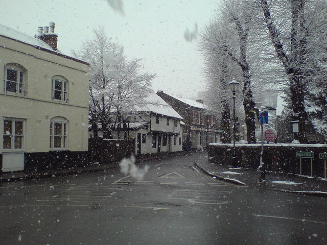
Image: © Lindsey Coates Taken: 6 Apr 2008
Survey House is probably the one of the oldest buildings in the village (parts date from around 1500-1520). Damaged by fire, it has been renovated and converted to houses. The Blue Anchor building, at the left of the picture, includes timbers which suggest it was originally built at the same time as Survey House.
Images are licensed for reuse under creativecommons.org/licenses/by-sa/2.0
Image Location


Leaflet Map data © OpenStreetMap
Latitude
51.395343
Longitude
0.115755