
IMAGES TAKEN NEAR TO
Sandringham Close, HOVE, BN3 6XE
Introduction
This page details the photographs taken nearby to Sandringham Close, BN3 6XE by members of the Geograph project.
The Geograph project started in 2005 with the aim of publishing, organising and preserving representative images for every square kilometre of Great Britain, Ireland and the Isle of Man.

There are currently over 7.5m images from over14,400 individuals and you can help contribute to the project by visiting https://www.geograph.org.uk
Image Map
Images are licensed for reuse under creativecommons.org/licenses/by-sa/2.0
Notes
- Clicking on the map will re-center to the selected point.
- The higher the marker number, the further away the image location is from the centre of the postcode.
Image Listing (9 Images Found)
Images are licensed for reuse under creativecommons.org/licenses/by-sa/2.0
Image
Details
Distance
1
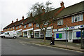
Parade of shops, Queen Victoria Avenue
One or two are hardly shops, e.g. "Gym & Tonic".
Image: © Robin Webster
Taken: 7 Apr 2010
0.07 miles
2
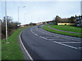
King George VI Avenue, Hove (A2038)
The outskirts of Hove looking towards junction with A27(T).
Image: © Peter Holmes
Taken: 26 Jan 2008
0.07 miles
3
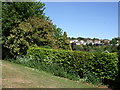
Bushes at Three Cornered Copse
with Woodland Drive in the background
Image: © Paul Gillett
Taken: 22 May 2010
0.20 miles
5
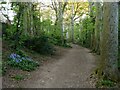
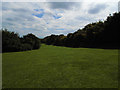
Three Cornered Copse
The belt of woodland once formed the parish boundary between West Blatchington and Patcham and now survives as a small open space hemmed in by the suburban crawl of Hove. Patches of bluebells are growing here.
Image: © Simon Carey
Taken: 15 Apr 2020
0.23 miles
6
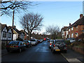
Mill Drive
Road on the eastern slope of the former Goldstone Bottom that was developed from the late 1950s. It links Elizabeth Avenue with Edward Avenue.
Image: © Simon Carey
Taken: 18 Jan 2009
0.23 miles
8
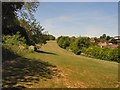
Three Cornered Copse
One of Brighton and Hove's best kept secrets, I have lived in the city all of my life but was not aware of the existence of this very pleasant area until looking at places to visit to photograpn for Geograph
Image: © Paul Gillett
Taken: 22 May 2010
0.25 miles
9
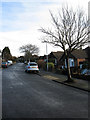
Elizabeth Avenue
Linking Goldstone Crescent with Queen Victoria Avenue up the side of the eastern slope of the former Goldstone Bottom. The road was developed from 1954 onwards.
Image: © Simon Carey
Taken: 18 Jan 2009
0.25 miles