Elizabeth Avenue
Introduction
The photograph on this page of Elizabeth Avenue by Simon Carey as part of the Geograph project.
The Geograph project started in 2005 with the aim of publishing, organising and preserving representative images for every square kilometre of Great Britain, Ireland and the Isle of Man.

There are currently over 7.5m images from over 14,400 individuals and you can help contribute to the project by visiting https://www.geograph.org.uk
Elizabeth Avenue
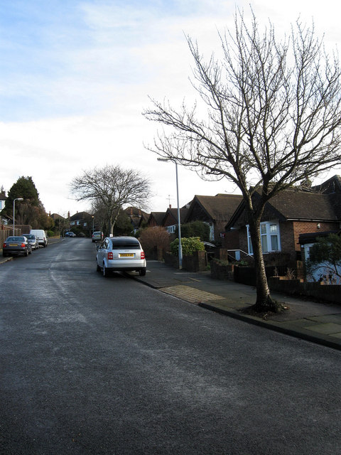
Image: © Simon Carey Taken: 18 Jan 2009
Linking Goldstone Crescent with Queen Victoria Avenue up the side of the eastern slope of the former Goldstone Bottom. The road was developed from 1954 onwards.
Images are licensed for reuse under creativecommons.org/licenses/by-sa/2.0
Image Location
Latitude
50.847912
Longitude
-0.176896