Three Cornered Copse
Introduction
The photograph on this page of Three Cornered Copse by Simon Carey as part of the Geograph project.
The Geograph project started in 2005 with the aim of publishing, organising and preserving representative images for every square kilometre of Great Britain, Ireland and the Isle of Man.

There are currently over 7.5m images from over 14,400 individuals and you can help contribute to the project by visiting https://www.geograph.org.uk
Three Cornered Copse
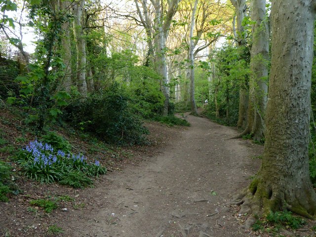
Image: © Simon Carey Taken: 15 Apr 2020
The belt of woodland once formed the parish boundary between West Blatchington and Patcham and now survives as a small open space hemmed in by the suburban crawl of Hove. Patches of bluebells are growing here.
Images are licensed for reuse under creativecommons.org/licenses/by-sa/2.0
Image Location
Latitude
50.849406
Longitude
-0.174707