IMAGES TAKEN NEAR TO
Dukes Close, SEAFORD, BN25 2TU
Introduction
This page details the photographs taken nearby to Dukes Close, BN25 2TU by members of the Geograph project.
The Geograph project started in 2005 with the aim of publishing, organising and preserving representative images for every square kilometre of Great Britain, Ireland and the Isle of Man.

There are currently over 7.5m images from over14,400 individuals and you can help contribute to the project by visiting https://www.geograph.org.uk
Image Map
Images are licensed for reuse under creativecommons.org/licenses/by-sa/2.0
Notes
- Clicking on the map will re-center to the selected point.
- The higher the marker number, the further away the image location is from the centre of the postcode.
Image Listing (19 Images Found)
Images are licensed for reuse under creativecommons.org/licenses/by-sa/2.0
Image
Details
Distance
3
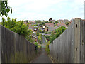
Footpath between Carlton Road and Clementine Avenue, Seaford
One of three footpaths from this side of Seaford heading northwest to Bishopstone. The other roads crossed by the footpath are Princess Drive and Churchill Road. It spans a valley.
Image: © Robin Stott
Taken: 7 May 2014
0.14 miles
4
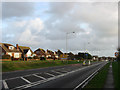
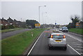
Buckle By-Pass
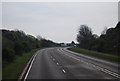
The current route was built in 1963 to replace the older route that ran down Claremont Road and along Marine Parade. The latter route had to travel over a railway bridge with a weight restriction and then under another with a width restriction whilst negotiating the seasonal flooding along Marine Parade. The current route crosses a former tidal inlet via an embankment before descending Hawth Hill in a cutting. The houses on the left are in Kingsway.
Image: © Simon Carey
Taken: 15 Nov 2009
0.14 miles
6
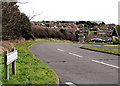
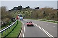
Princess Drive, Seaford
Seaford Head cliff can be seen in the distance
Image: © Kevin Gordon
Taken: 9 Mar 2008
0.15 miles
7
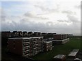
Selmeston Court
The name of the block of flats in the foreground, Litlington Court are the ones beyond. These along with two others out of shot to the right were built in the 1990s on the site of an old tidal inlet that has been cut off to the south by an embankment carrying the Lewes-Seaford railway line and to the north by another embankment that was built in 1963 to carry the Buckle By-Pass. The houses on the higher ground to the left are in Friston Close.
Image: © Simon Carey
Taken: 15 Nov 2009
0.18 miles
9
Lower Field/Lower Way Field (1)
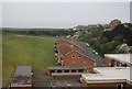
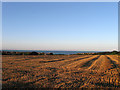
The name of the field according to Bishopstone's 1844 tithe map. The original fields were located on the northern end of Hawth Hill between two former tidal inlets but were split into two by the construction of Image in the late 1930s. This is the eastern part, see Image for the western portion. Lower Field was in the foreground next to the footpath whereas Lower Way Field was further down. Both have been joined together with Image
Image: © Simon Carey
Taken: 26 Aug 2012
0.18 miles