Lower Field/Lower Way Field (1)
Introduction
The photograph on this page of Lower Field/Lower Way Field (1) by Simon Carey as part of the Geograph project.
The Geograph project started in 2005 with the aim of publishing, organising and preserving representative images for every square kilometre of Great Britain, Ireland and the Isle of Man.

There are currently over 7.5m images from over 14,400 individuals and you can help contribute to the project by visiting https://www.geograph.org.uk
Lower Field/Lower Way Field (1)
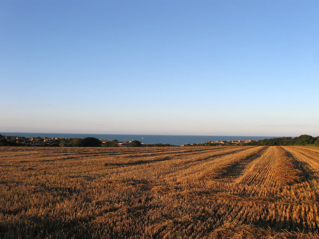
Image: © Simon Carey Taken: 26 Aug 2012
The name of the field according to Bishopstone's 1844 tithe map. The original fields were located on the northern end of Hawth Hill between two former tidal inlets but were split into two by the construction of Image in the late 1930s. This is the eastern part, see Image for the western portion. Lower Field was in the foreground next to the footpath whereas Lower Way Field was further down. Both have been joined together with Image
Images are licensed for reuse under creativecommons.org/licenses/by-sa/2.0
Image Location
Latitude
50.783081
Longitude
0.090406