
IMAGES TAKEN NEAR TO
Telscombe Close, PEACEHAVEN, BN10 8AS
Introduction
This page details the photographs taken nearby to Telscombe Close, BN10 8AS by members of the Geograph project.
The Geograph project started in 2005 with the aim of publishing, organising and preserving representative images for every square kilometre of Great Britain, Ireland and the Isle of Man.

There are currently over 7.5m images from over14,400 individuals and you can help contribute to the project by visiting https://www.geograph.org.uk
Image Map
Images are licensed for reuse under creativecommons.org/licenses/by-sa/2.0
Notes
- Clicking on the map will re-center to the selected point.
- The higher the marker number, the further away the image location is from the centre of the postcode.
Image Listing (23 Images Found)
Images are licensed for reuse under creativecommons.org/licenses/by-sa/2.0
Image
Details
Distance

2

Wendale Drive
Small cul-de-sac off Telscombe Road built in the 1980s when much of northern Peacehaven was developed to fill in the large number of gaps left by previous piecemeal development.
Image: © Simon Carey
Taken: 2 Jun 2012
0.04 miles

4
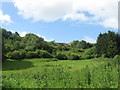
Vacant Plot, Valley Road
This is the northern edge of Peacehaven whose original plots were larger than those to the south in order to encourage smallholders though like elsewhere in the new town take up was piecemeal leaving large gaps between those plots that were developed. Valley Road was one of the original roads laid out and still retains a feel of the original prewar Peacehaven. To some extent it may be to do with the topography as the road runs through a long combe with steep sides. This view looks up towards houses off Telscombe Road the current northern limit of recent development in the town.
Image: © Simon Carey
Taken: 9 Jun 2012
0.06 miles
5
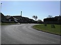
Bend at the junction of Telscombe Road and Pelham Rise
Image: © Dave Spicer
Taken: 23 Apr 2013
0.07 miles
6

Telscombe Road
Originally an old track that linked the villages of Telscombe and Piddinghoe across a high ridge of downland. Since the First World War it has effectively been the northern boundary of Peacehaven. Viewed from the junction with Pelham Rise.
Image: © Simon Carey
Taken: 2 Jun 2012
0.09 miles
7
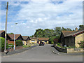
Telscombe Park
Small cul de sac off Roderick Avenue North built in the 1980s when many of the vacant plots between Telscombe Road and Firle Road were developed and filled.
Image: © Simon Carey
Taken: 16 Jun 2012
0.12 miles
8
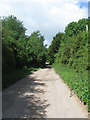
Valley Road
One of the roads laid out when Peacehaven was originally developed after the First World War. At that time other than what is now the main A259 all the roads in Peacehaven were unmade like this. This is the very northern end of the new town where the plots were larger to encourage smallholders and many gaps still exist between plots though the topography may prevent future development.
Image: © Simon Carey
Taken: 9 Jun 2012
0.14 miles
9
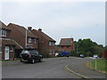
Greenacre
Small cul-de-sac off Telscombe Road built in the 1980s when much of northern Peacehaven was developed to fill in the gaps left by previous piecemeal development.
Image: © Simon Carey
Taken: 2 Jun 2012
0.16 miles
10
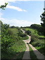
Roderick Avenue North
Opposite view of Image as it crosses Valley Road. Development has yet to reach this part of Peacehaven north of Telscombe Road which still retains a feel of what the town was like in its early days of unmade roads and vacant plots.
Image: © Simon Carey
Taken: 16 Jun 2012
0.17 miles