Valley Road
Introduction
The photograph on this page of Valley Road by Simon Carey as part of the Geograph project.
The Geograph project started in 2005 with the aim of publishing, organising and preserving representative images for every square kilometre of Great Britain, Ireland and the Isle of Man.

There are currently over 7.5m images from over 14,400 individuals and you can help contribute to the project by visiting https://www.geograph.org.uk
Valley Road
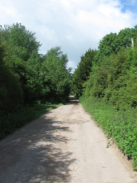
Image: © Simon Carey Taken: 9 Jun 2012
One of the roads laid out when Peacehaven was originally developed after the First World War. At that time other than what is now the main A259 all the roads in Peacehaven were unmade like this. This is the very northern end of the new town where the plots were larger to encourage smallholders and many gaps still exist between plots though the topography may prevent future development.
Images are licensed for reuse under creativecommons.org/licenses/by-sa/2.0
Image Location
Latitude
50.808144
Longitude
0.010193