Roderick Avenue North
Introduction
The photograph on this page of Roderick Avenue North by Simon Carey as part of the Geograph project.
The Geograph project started in 2005 with the aim of publishing, organising and preserving representative images for every square kilometre of Great Britain, Ireland and the Isle of Man.

There are currently over 7.5m images from over 14,400 individuals and you can help contribute to the project by visiting https://www.geograph.org.uk
Roderick Avenue North
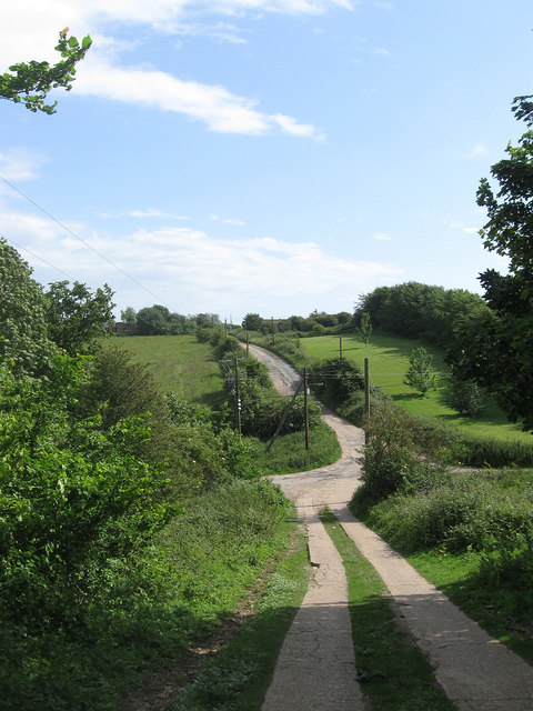
Image: © Simon Carey Taken: 16 Jun 2012
Opposite view of Image as it crosses Valley Road. Development has yet to reach this part of Peacehaven north of Telscombe Road which still retains a feel of what the town was like in its early days of unmade roads and vacant plots.
Images are licensed for reuse under creativecommons.org/licenses/by-sa/2.0
Image Location
Latitude
50.808145
Longitude
0.004941