
IMAGES TAKEN NEAR TO
Maclaren Road, BOURNEMOUTH, BH9 2UZ
Introduction
This page details the photographs taken nearby to Maclaren Road, BH9 2UZ by members of the Geograph project.
The Geograph project started in 2005 with the aim of publishing, organising and preserving representative images for every square kilometre of Great Britain, Ireland and the Isle of Man.

There are currently over 7.5m images from over14,400 individuals and you can help contribute to the project by visiting https://www.geograph.org.uk
Image Map
Images are licensed for reuse under creativecommons.org/licenses/by-sa/2.0
Notes
- Clicking on the map will re-center to the selected point.
- The higher the marker number, the further away the image location is from the centre of the postcode.
Image Listing (101 Images Found)
Images are licensed for reuse under creativecommons.org/licenses/by-sa/2.0
Image
Details
Distance
1
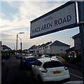
Moordown: Maclaren Road
One of the criss-cross roads on this western side of the main Wimborne Road in Moordown. Wimborne Road, The Avenue and The Grove are the long north-south roads and Maclaren is one of the shorter east-west roads linking them - one of several that include both segments. Desirable detached houses are the order of the day.
The sign is a modern one, from 2010-15 when this more modern, abstract emblem rather than the traditional town coat of arms as the working logo of the council. Usually mounted on two short posts, this is a double-sided version mounted on a high pole, common throughout this long straight stretch of Wimborne Road.
This is photo no.253 of a series of 453 in my coronavirus lockdown walking project:
See https://www.geograph.org.uk/article/My-2020-Coronavirus-Lockdown-walking-project for the complete set of photos.
Image: © Chris Downer
Taken: 17 Apr 2020
0.02 miles
2
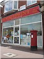
Moordown: postbox № BH9 113, Wimborne Road
An Edward VII-reign postbox outside the former premises of Image – see that link for more details.
Image: © Chris Downer
Taken: 6 Jul 2008
0.04 miles
4
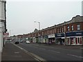
Moordown: Tennyson Buildings
A parade of shops which comprises the even numbers 918-942 Wimborne Road. It is named after Tennyson Road, whose junction is at the far end. It is dated 1926 on the gables at both ends.
The parade on the left is Image
Image: © Chris Downer
Taken: 24 Feb 2008
0.04 miles
5
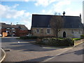
Bournemouth : Moordown - Old St John's Mews
A private road for residents living near Wimborne Road.
Image: © Lewis Clarke
Taken: 11 Feb 2010
0.04 miles
6
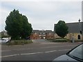
Moordown: Old St. John?s Mews
Looking across the main Wimborne Road towards this development of social housing, within what was the grounds of Image, which we see to the right.
The first dwellings left and right of the access road are joined by way of an arch over the road.
Image: © Chris Downer
Taken: 6 Jul 2016
0.05 miles
7
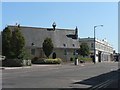
Moordown: Wimborne Road and the old school
Looking down Wimborne Road from the northern end of Moordown shops – prominent is Image and next to it is Image
Image: © Chris Downer
Taken: 22 Jun 2008
0.05 miles
8
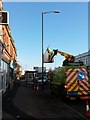
Moordown: Christmas dismantlement
Looking along the main Wimborne Road as the electricity board remove the festive adornments to the lampposts. They were turned off on 5 January, of course, but it takes a while before the festive lights are physically removed.
Image: © Chris Downer
Taken: 28 Jan 2016
0.05 miles
9
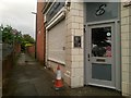
Moordown: footpath M01 to Mayfield Road
Looking alongside Image along this public footpath, which runs dead straight for just over 200m to meet Mayfield Road.
See Image for the next picture along the path.
Image: © Chris Downer
Taken: 22 Jun 2016
0.05 miles
10
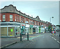
Tennyson Buildings
Parade of shops dating from 1926
Image: © Chris Gunns
Taken: 25 May 2009
0.05 miles