Moordown: Maclaren Road
Introduction
The photograph on this page of Moordown: Maclaren Road by Chris Downer as part of the Geograph project.
The Geograph project started in 2005 with the aim of publishing, organising and preserving representative images for every square kilometre of Great Britain, Ireland and the Isle of Man.

There are currently over 7.5m images from over 14,400 individuals and you can help contribute to the project by visiting https://www.geograph.org.uk
Moordown: Maclaren Road
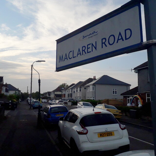
Image: © Chris Downer Taken: 17 Apr 2020
One of the criss-cross roads on this western side of the main Wimborne Road in Moordown. Wimborne Road, The Avenue and The Grove are the long north-south roads and Maclaren is one of the shorter east-west roads linking them - one of several that include both segments. Desirable detached houses are the order of the day. The sign is a modern one, from 2010-15 when this more modern, abstract emblem rather than the traditional town coat of arms as the working logo of the council. Usually mounted on two short posts, this is a double-sided version mounted on a high pole, common throughout this long straight stretch of Wimborne Road. This is photo no.253 of a series of 453 in my coronavirus lockdown walking project: See https://www.geograph.org.uk/article/My-2020-Coronavirus-Lockdown-walking-project for the complete set of photos.
Images are licensed for reuse under creativecommons.org/licenses/by-sa/2.0
Image Location
Latitude
50.754801
Longitude
-1.875481