Moordown: postbox № BH9 113, Wimborne Road
Introduction
The photograph on this page of Moordown: postbox № BH9 113, Wimborne Road by Chris Downer as part of the Geograph project.
The Geograph project started in 2005 with the aim of publishing, organising and preserving representative images for every square kilometre of Great Britain, Ireland and the Isle of Man.

There are currently over 7.5m images from over 14,400 individuals and you can help contribute to the project by visiting https://www.geograph.org.uk
Moordown: postbox № BH9 113, Wimborne Road
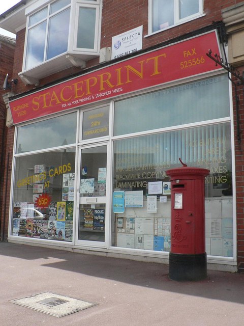
Image: © Chris Downer Taken: 6 Jul 2008
An Edward VII-reign postbox outside the former premises of Image – see that link for more details.
Images are licensed for reuse under creativecommons.org/licenses/by-sa/2.0
Image Location


Leaflet Map data © OpenStreetMap
Latitude
50.75507
Longitude
-1.874772