
IMAGES TAKEN NEAR TO
Cammel Road, FERNDOWN, BH22 8SD
Introduction
This page details the photographs taken nearby to Cammel Road, BH22 8SD by members of the Geograph project.
The Geograph project started in 2005 with the aim of publishing, organising and preserving representative images for every square kilometre of Great Britain, Ireland and the Isle of Man.

There are currently over 7.5m images from over14,400 individuals and you can help contribute to the project by visiting https://www.geograph.org.uk
Image Map
Images are licensed for reuse under creativecommons.org/licenses/by-sa/2.0
Notes
- Clicking on the map will re-center to the selected point.
- The higher the marker number, the further away the image location is from the centre of the postcode.
Image Listing (7 Images Found)
Images are licensed for reuse under creativecommons.org/licenses/by-sa/2.0
Image
Details
Distance
1
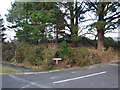
Parley Barrow, Druids Close, West Parley
This tumuli is on the corner of Ellesfield Drive and Druids Close.
Image: © Lorraine and Keith Bowdler
Taken: 1 Mar 2010
0.14 miles
2
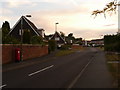
West Parley: postbox № BH22 185, Fitzpain Road
A modern postbox on this 1960s housing estate; a gap in the housing ahead has been left ahead of us, as a recreational field. The postbox is emptied finally at 5pm on weekdays and at noon on Saturdays.
Image: © Chris Downer
Taken: 15 Jun 2009
0.18 miles
3
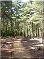
Poor Common, permissive bridleway
One of several well-maintained paths described on signposts as "permissive horse route".
Image: © Mike Faherty
Taken: 31 Jul 2009
0.20 miles
4
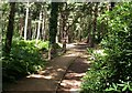
Poor Common, footpath
Well-maintained footpath running from South-east to North-west across Image
Image: © Mike Faherty
Taken: 31 Jul 2009
0.21 miles
5
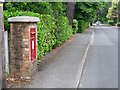
West Parley: postbox № BH22 116, Dudsbury Road
This George VI-reign postbox is emptied finally at 5:15pm on weekdays and at noon on Saturdays.
Image: © Chris Downer
Taken: 9 Jun 2009
0.21 miles
6
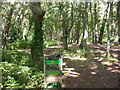
West Parley, Poor Common
One of several commons in the area called "Poor" or "Poors", originally used by the rural poor to gather fuel. On the edges, mixed oak & pine; a pine plantation in the centre. http://www.dorsetforyou.com/index.jsp?articleid=386498
Image: © Mike Faherty
Taken: 31 Jul 2009
0.23 miles
7
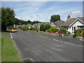
West Parley, bungalows
Bungalows on Linden Road, running from Dudsbury to Christchurch Roads; trees on Poor Common in the background.
Image: © Mike Faherty
Taken: 31 Jul 2009
0.25 miles