West Parley, Poor Common
Introduction
The photograph on this page of West Parley, Poor Common by Mike Faherty as part of the Geograph project.
The Geograph project started in 2005 with the aim of publishing, organising and preserving representative images for every square kilometre of Great Britain, Ireland and the Isle of Man.

There are currently over 7.5m images from over 14,400 individuals and you can help contribute to the project by visiting https://www.geograph.org.uk
West Parley, Poor Common
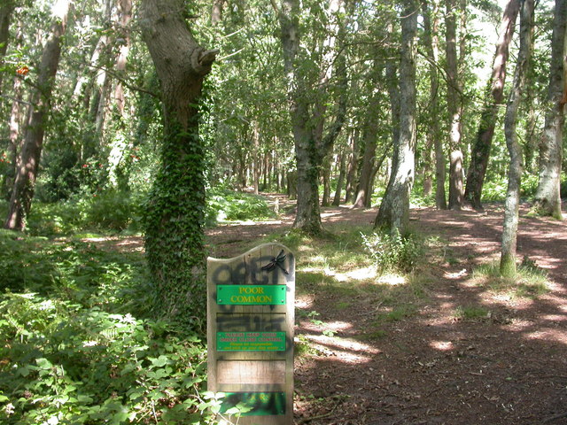
Image: © Mike Faherty Taken: 31 Jul 2009
One of several commons in the area called "Poor" or "Poors", originally used by the rural poor to gather fuel. On the edges, mixed oak & pine; a pine plantation in the centre. http://www.dorsetforyou.com/index.jsp?articleid=386498
Images are licensed for reuse under creativecommons.org/licenses/by-sa/2.0
Image Location
Latitude
50.784946
Longitude
-1.894835