Poor Common, permissive bridleway
Introduction
The photograph on this page of Poor Common, permissive bridleway by Mike Faherty as part of the Geograph project.
The Geograph project started in 2005 with the aim of publishing, organising and preserving representative images for every square kilometre of Great Britain, Ireland and the Isle of Man.

There are currently over 7.5m images from over 14,400 individuals and you can help contribute to the project by visiting https://www.geograph.org.uk
Poor Common, permissive bridleway
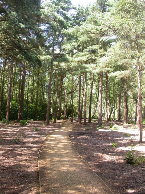
Image: © Mike Faherty Taken: 31 Jul 2009
One of several well-maintained paths described on signposts as "permissive horse route".
Images are licensed for reuse under creativecommons.org/licenses/by-sa/2.0
Image Location
Latitude
50.786746
Longitude
-1.896675