
IMAGES TAKEN NEAR TO
West Way, BROADSTONE, BH18 9LR
Introduction
This page details the photographs taken nearby to West Way, BH18 9LR by members of the Geograph project.
The Geograph project started in 2005 with the aim of publishing, organising and preserving representative images for every square kilometre of Great Britain, Ireland and the Isle of Man.

There are currently over 7.5m images from over14,400 individuals and you can help contribute to the project by visiting https://www.geograph.org.uk
Image Map
Images are licensed for reuse under creativecommons.org/licenses/by-sa/2.0
Notes
- Clicking on the map will re-center to the selected point.
- The higher the marker number, the further away the image location is from the centre of the postcode.
Image Listing (24 Images Found)
Images are licensed for reuse under creativecommons.org/licenses/by-sa/2.0
Image
Details
Distance
1
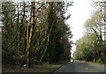
Heading north on Broadstone Way
This road is built on the trackbed of the former LSWR between Holes Bay and Broadstone. On the left, at a slightly higher level, is the trackbed of the disused railway from Broadstone to Hamworthy.
Image: © Peter Kazmierczak
Taken: 29 Feb 2016
0.09 miles
2
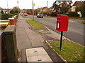
Broadstone: postbox № BH18 103, Upton Way
This small postbox has its back to the High Way turning, and is emptied finally at 4pm on weekdays and at 11:45am on Saturdays.
Image: © Chris Downer
Taken: 2 Apr 2010
0.11 miles
3
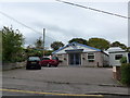
In which I Poole my resources (3)
Broadstone Baptist Church
Image: © Basher Eyre
Taken: 22 Apr 2014
0.14 miles
4
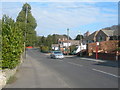
York Road, Broadstone
Facing North, near junction of Northbrook Road.
Image: © Danny P Robinson
Taken: 11 Mar 2006
0.21 miles
5
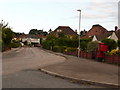
Broadstone: postbox № BH18 167, Ascot Road
Looking along the southern section of Ascot Road past this Elizabeth II-reign postbox, which is leaning backwards slightly and is emptied finally at 5:30pm on weekdays and at 11:45am on Saturdays.
Image: © Chris Downer
Taken: 12 Jul 2009
0.21 miles
6
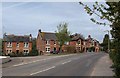
Houses at junction, York Road
These older brick houses make a contrast with the adjacent modern houses shown in Image along Northbrook Road, which is to the left.
Image: © Derek Harper
Taken: 28 Apr 2010
0.21 miles
7
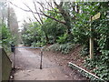
Castleman Trailway, Broadstone, near Poole
This shared path for walking and cycling follows the route of a dismantled railway through Broadstone. It forms part of the Castleman Trailway.
Image: © Malc McDonald
Taken: 7 Feb 2022
0.21 miles
8
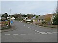
Bognor Road, Broadstone
Bognor Road is a minor residential road in Broadstone, near Poole. Bungalows form most of the housing in this area.
Image: © Malc McDonald
Taken: 7 Feb 2022
0.22 miles
9
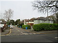
Clarendon Close, Broadstone
Clarendon Close is a residential cul-de-sac in Broadstone, on the outskirts of Poole.
Image: © Malc McDonald
Taken: 7 Feb 2022
0.22 miles
10
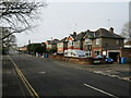
Clarendon Road, Broadstone
Clarendon Road is a residential road in Broadstone, a suburb of Poole.
Image: © Malc McDonald
Taken: 7 Feb 2022
0.22 miles