Heading north on Broadstone Way
Introduction
The photograph on this page of Heading north on Broadstone Way by Peter Kazmierczak as part of the Geograph project.
The Geograph project started in 2005 with the aim of publishing, organising and preserving representative images for every square kilometre of Great Britain, Ireland and the Isle of Man.

There are currently over 7.5m images from over 14,400 individuals and you can help contribute to the project by visiting https://www.geograph.org.uk
Heading north on Broadstone Way
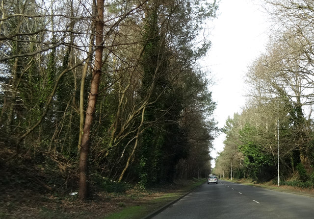
Image: © Peter Kazmierczak Taken: 29 Feb 2016
This road is built on the trackbed of the former LSWR between Holes Bay and Broadstone. On the left, at a slightly higher level, is the trackbed of the disused railway from Broadstone to Hamworthy.
Images are licensed for reuse under creativecommons.org/licenses/by-sa/2.0
Image Location
Latitude
50.759274
Longitude
-1.99768