
IMAGES TAKEN NEAR TO
Dandy Row, DARWEN, BB3 3BL
Introduction
This page details the photographs taken nearby to Dandy Row, BB3 3BL by members of the Geograph project.
The Geograph project started in 2005 with the aim of publishing, organising and preserving representative images for every square kilometre of Great Britain, Ireland and the Isle of Man.

There are currently over 7.5m images from over14,400 individuals and you can help contribute to the project by visiting https://www.geograph.org.uk
Image Map
Images are licensed for reuse under creativecommons.org/licenses/by-sa/2.0
Notes
- Clicking on the map will re-center to the selected point.
- The higher the marker number, the further away the image location is from the centre of the postcode.
Image Listing (13 Images Found)
Images are licensed for reuse under creativecommons.org/licenses/by-sa/2.0
Image
Details
Distance
2
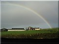
Rainbow over Shaw Fold Farm, Eccleshill, Darwen
Taken from Roman Road. Belthorn village can be seen on the hilltop in the background.
Image: © Eileen Cowen
Taken: 7 Nov 2005
0.09 miles
6
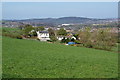
Manor House Farm
Seen from Shaw Fold Farm. Ewood Park football stadium is behind it.
Image: © Bill Boaden
Taken: 9 Apr 2011
0.17 miles
7
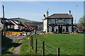
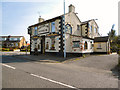
The Punch Bowl Inn, Pothouse
This is on the junction of Pot House Lane with Roman Road. The Jubilee Tower which dominates Darwen is behind.
Image: © Bill Boaden
Taken: 9 Apr 2011
0.17 miles
8
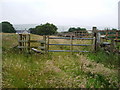
Stile
New stile put in place by the Woodland Trust as an access point to Polyphemus Wood
Image: © Alexander P Kapp
Taken: 9 Jul 2008
0.18 miles
9
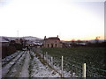
Punch Bowl Inn, Pothouse, Darwen
In the background is Darwen Jubilee Tower, erected 1897 to celebrate Queen Victoria's Diamond Jubilee AND the freeing of Darwen Moor
Image: © Eileen Cowen
Taken: 1 Apr 2003
0.19 miles
10
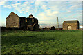
Harwood Fold
A group of buildings in a pasture near Pot House, consisting of two in a ruinous state including a farmhouse - and a stone barn, still in service.
Image: © Chris Heaton
Taken: 15 Jan 2022
0.21 miles