The Punch Bowl Inn, Pothouse
Introduction
The photograph on this page of The Punch Bowl Inn, Pothouse by Bill Boaden as part of the Geograph project.
The Geograph project started in 2005 with the aim of publishing, organising and preserving representative images for every square kilometre of Great Britain, Ireland and the Isle of Man.

There are currently over 7.5m images from over 14,400 individuals and you can help contribute to the project by visiting https://www.geograph.org.uk
The Punch Bowl Inn, Pothouse
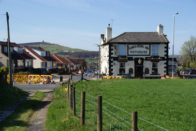
Image: © Bill Boaden Taken: 9 Apr 2011
This is on the junction of Pot House Lane with Roman Road. The Jubilee Tower which dominates Darwen is behind.
Images are licensed for reuse under creativecommons.org/licenses/by-sa/2.0
Image Location
Latitude
53.703297
Longitude
-2.452122