Harwood Fold
Introduction
The photograph on this page of Harwood Fold by Chris Heaton as part of the Geograph project.
The Geograph project started in 2005 with the aim of publishing, organising and preserving representative images for every square kilometre of Great Britain, Ireland and the Isle of Man.

There are currently over 7.5m images from over 14,400 individuals and you can help contribute to the project by visiting https://www.geograph.org.uk
Harwood Fold
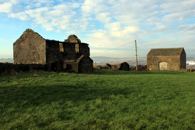
Image: © Chris Heaton Taken: 15 Jan 2022
A group of buildings in a pasture near Pot House, consisting of two in a ruinous state including a farmhouse - and a stone barn, still in service.
Images are licensed for reuse under creativecommons.org/licenses/by-sa/2.0
Image Location
Latitude
53.704654
Longitude
-2.449713