
IMAGES TAKEN NEAR TO
North Bank Avenue, BLACKBURN, BB1 8PY
Introduction
This page details the photographs taken nearby to North Bank Avenue, BB1 8PY by members of the Geograph project.
The Geograph project started in 2005 with the aim of publishing, organising and preserving representative images for every square kilometre of Great Britain, Ireland and the Isle of Man.

There are currently over 7.5m images from over14,400 individuals and you can help contribute to the project by visiting https://www.geograph.org.uk
Image Map
Images are licensed for reuse under creativecommons.org/licenses/by-sa/2.0
Notes
- Clicking on the map will re-center to the selected point.
- The higher the marker number, the further away the image location is from the centre of the postcode.
Image Listing (15 Images Found)
Images are licensed for reuse under creativecommons.org/licenses/by-sa/2.0
Image
Details
Distance
1
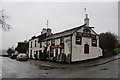
The Royal Oak, Pleckgate
Seen on a wet day.
Image: © Bill Boaden
Taken: 31 Dec 2011
0.07 miles
2
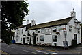
The Royal Oak, Pleckgate
Public House located at the south western end of Woolridge Playing Fields on Royal Oak Avenue
Image: © Chris Heaton
Taken: 20 Jul 2017
0.07 miles
3
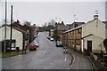
Pleckgate Road, Roe Lee
There is a small cluster of older housing here, which has been swallowed by the surrounding suburbs of Blackburn.
Image: © Bill Boaden
Taken: 31 Dec 2011
0.12 miles
5
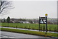
Neighbourhood noticeboard by Woolridge Playing Fields
Community playing fields opposite Pleckgate High School. It's drizzling incessantly.
Image: © Bill Boaden
Taken: 31 Dec 2011
0.15 miles
7
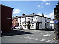
"Stanley Arms", Campbell Street, Blackburn
Image: © Alexander P Kapp
Taken: 30 Jul 2007
0.20 miles
8
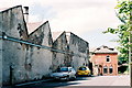
Roe Lee Mill, Blackburn
"Duckworth's and Eddlestones weaving sheds were state of the art"... Visit of George V and Queen Mary 1913. See http://www.cottontown.org/
Tony Mercer provided this extra information, "The entrance through the gates in the photo used to have a siding from the railway into it. It was controlled by a nearby signal box called Cemetery Hill siding."
Image: © Mike and Kirsty Grundy
Taken: 6 Aug 2005
0.21 miles
9
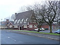
The Farthings .
Public house on Rosewood Avenue.
Image: © Tony Mercer
Taken: 1 Jan 2009
0.22 miles
10
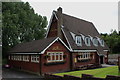
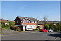
The Farthings on Rosewood Avenue
Modern public house whose outstanding feature is the unusual steepness to the roof - located in the northern suburbs of Blackburn.
Image: © Chris Heaton
Taken: 20 Jul 2017
0.23 miles