Roe Lee Mill, Blackburn
Introduction
The photograph on this page of Roe Lee Mill, Blackburn by Mike and Kirsty Grundy as part of the Geograph project.
The Geograph project started in 2005 with the aim of publishing, organising and preserving representative images for every square kilometre of Great Britain, Ireland and the Isle of Man.

There are currently over 7.5m images from over 14,400 individuals and you can help contribute to the project by visiting https://www.geograph.org.uk
Roe Lee Mill, Blackburn
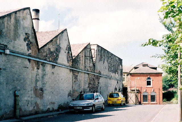
Image: © Mike and Kirsty Grundy Taken: 6 Aug 2005
"Duckworth's and Eddlestones weaving sheds were state of the art"... Visit of George V and Queen Mary 1913. See http://www.cottontown.org/ Tony Mercer provided this extra information, "The entrance through the gates in the photo used to have a siding from the railway into it. It was controlled by a nearby signal box called Cemetery Hill siding."
Images are licensed for reuse under creativecommons.org/licenses/by-sa/2.0
Image Location
Latitude
53.768085
Longitude
-2.479368