Pleckgate Road, Roe Lee
Introduction
The photograph on this page of Pleckgate Road, Roe Lee by Bill Boaden as part of the Geograph project.
The Geograph project started in 2005 with the aim of publishing, organising and preserving representative images for every square kilometre of Great Britain, Ireland and the Isle of Man.

There are currently over 7.5m images from over 14,400 individuals and you can help contribute to the project by visiting https://www.geograph.org.uk
Pleckgate Road, Roe Lee
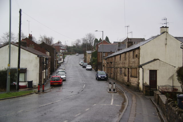
Image: © Bill Boaden Taken: 31 Dec 2011
There is a small cluster of older housing here, which has been swallowed by the surrounding suburbs of Blackburn.
Images are licensed for reuse under creativecommons.org/licenses/by-sa/2.0
Image Location


Leaflet Map data © OpenStreetMap
Latitude
53.767158
Longitude
-2.486336