
IMAGES TAKEN NEAR TO
Cornmill Terrace, BARNOLDSWICK, BB18 5FA
Introduction
This page details the photographs taken nearby to Cornmill Terrace, BB18 5FA by members of the Geograph project.
The Geograph project started in 2005 with the aim of publishing, organising and preserving representative images for every square kilometre of Great Britain, Ireland and the Isle of Man.

There are currently over 7.5m images from over14,400 individuals and you can help contribute to the project by visiting https://www.geograph.org.uk
Image Map
Images are licensed for reuse under creativecommons.org/licenses/by-sa/2.0
Notes
- Clicking on the map will re-center to the selected point.
- The higher the marker number, the further away the image location is from the centre of the postcode.
Image Listing (238 Images Found)
Images are licensed for reuse under creativecommons.org/licenses/by-sa/2.0
Image
Details
Distance
1
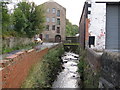
Butts Beck at West Close Road, Barnoldswick
The flow is towards the photographer, who stands on the bridge carrying West Close Road over the beck. In the background is Barnoldswick's oldest mill, formerly a water-powered corn mill.
Image: © Dr Neil Clifton
Taken: 12 Oct 2008
0.02 miles
2
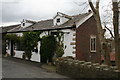
Barnoldswick: 14 Commercial Street
14 Commercial Street is separated by some considerable distance from 2 to 12; This house has been refurbished, and a lower storey, which will 'front' onto the back of Butts, is still being restored.
Image: © Dr Neil Clifton
Taken: 6 May 2017
0.03 miles
3
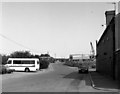
West Close Road, Barnoldswick
Looking east from the end of Gisburn Street. At the far end of West Close Road there is a T-junction with Skipton Road. On the right, the remnants of Barnoldswick Gas Works are being cleared away.
Image: © Dr Neil Clifton
Taken: 21 Jul 1990
0.03 miles
4
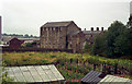
Barnoldswick's oldest mill
See Image This photograph shows the mill after removal of the gasholders but before new houses had been built which later would partially obscure this view.
Image: © Dr Neil Clifton
Taken: 9 Aug 1992
0.04 miles
5
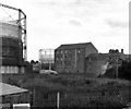
Barnoldswick's oldest mill
Originally it was a corn mill and was powered by water. Butts Beck had been dammed to provide a mill pond. The dam was emptied many years ago. Now in 2007 the mill survives, but the gas holders have gone, new property has been built, and the area looks quite different.
Image: © Dr Neil Clifton
Taken: 28 Jul 1985
0.04 miles
6
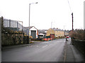
Barnoldswick: West Close Road
In the centre of the picture are three new houses which have replaced a tyre depot which was previously on the site.
Image: © Dr Neil Clifton
Taken: 7 Feb 2010
0.04 miles
7
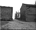
View near the old Barnoldswick gasworks
This area is now redeveloped
Image: © Dr Neil Clifton
Taken: 10 Oct 1982
0.04 miles
8
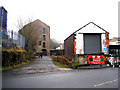
Barnoldswick: The old corn mill from West Close Road
New housing development has taken place near to the old corn mill, which is a Listed Building so cannot be demolished. The brick building in the foreground is not listed.
Image: © Dr Neil Clifton
Taken: 7 Feb 2010
0.04 miles
9
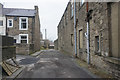
Unadopted road on Barnoldswick
There is a northern feel to this road, which runs off Skipton Road.
Image: © Bill Boaden
Taken: 3 Dec 2016
0.04 miles
10
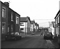
Gisburn Street, Barnoldswick
This street runs north-eastwards off the main road, Gisburn Road. On the left of Gisburn Street can be seen its junctions with Bracewell Street and Colin Street. At the far end, Gisburn Street runs into West Close Road, but all vehicles must turn right at this point, as the portion of West Close Road to the left is unmade.
Image: © Dr Neil Clifton
Taken: 12 May 1990
0.06 miles