Butts Beck at West Close Road, Barnoldswick
Introduction
The photograph on this page of Butts Beck at West Close Road, Barnoldswick by Dr Neil Clifton as part of the Geograph project.
The Geograph project started in 2005 with the aim of publishing, organising and preserving representative images for every square kilometre of Great Britain, Ireland and the Isle of Man.

There are currently over 7.5m images from over 14,400 individuals and you can help contribute to the project by visiting https://www.geograph.org.uk
Butts Beck at West Close Road, Barnoldswick
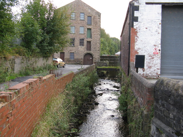
Image: © Dr Neil Clifton Taken: 12 Oct 2008
The flow is towards the photographer, who stands on the bridge carrying West Close Road over the beck. In the background is Barnoldswick's oldest mill, formerly a water-powered corn mill.
Images are licensed for reuse under creativecommons.org/licenses/by-sa/2.0
Image Location


Leaflet Map data © OpenStreetMap
Latitude
53.920703
Longitude
-2.187247