Barnoldswick: West Close Road
Introduction
The photograph on this page of Barnoldswick: West Close Road by Dr Neil Clifton as part of the Geograph project.
The Geograph project started in 2005 with the aim of publishing, organising and preserving representative images for every square kilometre of Great Britain, Ireland and the Isle of Man.

There are currently over 7.5m images from over 14,400 individuals and you can help contribute to the project by visiting https://www.geograph.org.uk
Barnoldswick: West Close Road
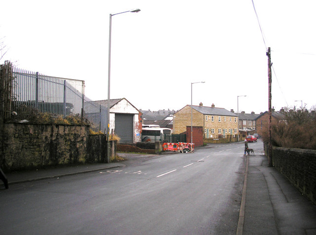
Image: © Dr Neil Clifton Taken: 7 Feb 2010
In the centre of the picture are three new houses which have replaced a tyre depot which was previously on the site.
Images are licensed for reuse under creativecommons.org/licenses/by-sa/2.0
Image Location
Latitude
53.920972
Longitude
-2.187553