
IMAGES TAKEN NEAR TO
Somer Ridge, RADSTOCK, BA3 2FB
Introduction
This page details the photographs taken nearby to Somer Ridge, BA3 2FB by members of the Geograph project.
The Geograph project started in 2005 with the aim of publishing, organising and preserving representative images for every square kilometre of Great Britain, Ireland and the Isle of Man.

There are currently over 7.5m images from over14,400 individuals and you can help contribute to the project by visiting https://www.geograph.org.uk
Image Map
Images are licensed for reuse under creativecommons.org/licenses/by-sa/2.0
Notes
- Clicking on the map will re-center to the selected point.
- The higher the marker number, the further away the image location is from the centre of the postcode.
Image Listing (9 Images Found)
Images are licensed for reuse under creativecommons.org/licenses/by-sa/2.0
Image
Details
Distance
1
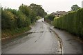
Monger Lane
Seen from close to its western end at Phillis Hill. To the right, the former fields are being filled up with residential development. The next right turn is Harts Paddock, a cul-de-sac. On the left, a large open field separates Thicket Mead from Paulton.
Image: © Derek Harper
Taken: 7 Oct 2009
0.11 miles
2
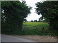
Footpath at Greenhill
A view looking north towards the stile at the start of the public footpath from Greenhill to Mongers Lane.
Image: © Phil Williams
Taken: 7 Jun 2007
0.14 miles
3

Farmland at Greenhill
A view looking to the southwest across farmland at Greenhill.
Image: © Phil Williams
Taken: 7 Jun 2007
0.14 miles
4

Mongers Lane
A view looking to the south along Mongers Lane from the start of the public footpath to Greenhill.
Image: © Phil Williams
Taken: 7 Jun 2007
0.16 miles
5
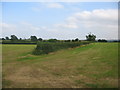
Farmland off Monger Lane
A view looking to the southeast across farmland off Monger Lane. The public footpath to Greenhill passes to the left of the hedge at the centre of the image.
Image: © Phil Williams
Taken: 7 Jun 2007
0.20 miles
6
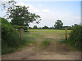
Footpath off Monger Lane
A view looking east from Monger Lane towards the stile at the start of the public footpath to Greenhill.
Image: © Phil Williams
Taken: 7 Jun 2007
0.20 miles
7
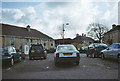
Car Park at Paulton Hospital
Image: © Dominic Dawn Harry and Jacob Paterson
Taken: 18 Feb 2006
0.21 miles
8
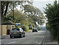
2009 : B3355 Salisbury Road, heading south
An entrance to Paulton Memorial Hospital is to the left.
Paulton is almost left behind, Thicket Mead and Midsomer Norton are ahead.
Image: © Maurice Pullin
Taken: 10 Oct 2009
0.24 miles
9
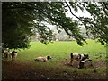
Cattle by Boxbury Hill
In the top corner of the field, as seen through the hedge from Boxbury Hill. On the far side is West Road, the A362.
Image: © Derek Harper
Taken: 7 Oct 2009
0.24 miles