2009 : B3355 Salisbury Road, heading south
Introduction
The photograph on this page of 2009 : B3355 Salisbury Road, heading south by Maurice Pullin as part of the Geograph project.
The Geograph project started in 2005 with the aim of publishing, organising and preserving representative images for every square kilometre of Great Britain, Ireland and the Isle of Man.

There are currently over 7.5m images from over 14,400 individuals and you can help contribute to the project by visiting https://www.geograph.org.uk
2009 : B3355 Salisbury Road, heading south
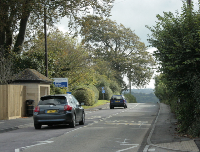
Image: © Maurice Pullin Taken: 10 Oct 2009
An entrance to Paulton Memorial Hospital is to the left. Paulton is almost left behind, Thicket Mead and Midsomer Norton are ahead.
Images are licensed for reuse under creativecommons.org/licenses/by-sa/2.0
Image Location
Latitude
51.298662
Longitude
-2.493926