
IMAGES TAKEN NEAR TO
Sefton Close, ST. ALBANS, AL1 4PF
Introduction
This page details the photographs taken nearby to Sefton Close, AL1 4PF by members of the Geograph project.
The Geograph project started in 2005 with the aim of publishing, organising and preserving representative images for every square kilometre of Great Britain, Ireland and the Isle of Man.

There are currently over 7.5m images from over14,400 individuals and you can help contribute to the project by visiting https://www.geograph.org.uk
Image Map
Images are licensed for reuse under creativecommons.org/licenses/by-sa/2.0
Notes
- Clicking on the map will re-center to the selected point.
- The higher the marker number, the further away the image location is from the centre of the postcode.
Image Listing (102 Images Found)
Images are licensed for reuse under creativecommons.org/licenses/by-sa/2.0
Image
Details
Distance
1
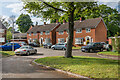
Sefton Close
Development dating from c1980 on the site of 20 Blenheim Road.
Image: © Ian Capper
Taken: 1 May 2020
0.01 miles
2
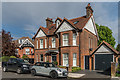
18 Blenheim Road
A house in Blenheim Road, a road developed in the 1890s as part of the development of fields previously belonging to St Peter’s Farm, part of the larger Earl Spencer Estate. This one has the name Keith in the left hand gable and the year 1899 in the right hand one. Locally listed.
Image: © Ian Capper
Taken: 1 May 2020
0.05 miles
3
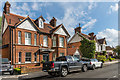
18 Blenheim Road
A house in Blenheim Road, a road developed in the 1890s as part of the development of fields previously belonging to St Peter’s Farm, part of the larger Earl Spencer Estate. This one has the name Keith in the left hand gable and the year 1899 in the right hand one. Beyond is no 16, of a similar era. Locally listed.
Image: © Ian Capper
Taken: 1 May 2020
0.05 miles
4
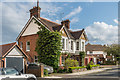
16 Blenheim Road
A house in Blenheim Road, a road developed in the 1890s as part of the development of fields previously belonging to St Peter’s Farm, part of the larger Earl Spencer Estate. Locally listed.
Image: © Ian Capper
Taken: 1 May 2020
0.05 miles
5
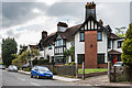
31 - 33 Blenheim Road
A large house at the corner of Blenheim Road and Sandpit Lane, with a name plaque "Red Roofs". Blenheim Road was developed in the 1890s as part of the development of fields previously belonging to St Peter’s Farm, part of the larger Earl Spencer Estate. Locally listed.
Image: © Ian Capper
Taken: 1 May 2020
0.06 miles
6
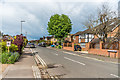
Lancaster Road
One of a pair of roads (the other being the parallel Battlefield Road) developed in the 1920s/30s with names commemorating the second Battle of St Albans which was fought in 1461 on nearby Bernards Heath.
Image: © Ian Capper
Taken: 1 May 2020
0.06 miles
7
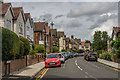
Blenheim Road
Looking along Blenheim Road, a road developed in the 1890s as part of the development of fields previously belonging to St Peter’s Farm, part of the larger Earl Spencer Estate.
Image: © Ian Capper
Taken: 25 Jul 2020
0.07 miles
8
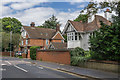
64 and 66 Lemsford Road
64 Lemsford Road, nearer the camera, was built in the early 20th Century. Beyond is 66 Lemsford Road, a large late 19th Century house, now housing a care home but in the past a children's home operated by Hertfordshire County Council.
Image: © Ian Capper
Taken: 24 Jul 2020
0.08 miles
9
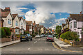
Blenheim Road
Looking along Blenheim Road, a road developed in the 1890s as part of the development of fields previously belonging to St Peter’s Farm, part of the larger Earl Spencer Estate.
Image: © Ian Capper
Taken: 1 May 2020
0.08 miles
10
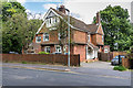
66 Lemsford Road
Large late 19th Century house in Lemsford Road. Now housing a care home, it was in the past a children's home operated by Hertfordshire County Council.
Image: © Ian Capper
Taken: 24 Jul 2020
0.09 miles