Lancaster Road
Introduction
The photograph on this page of Lancaster Road by Ian Capper as part of the Geograph project.
The Geograph project started in 2005 with the aim of publishing, organising and preserving representative images for every square kilometre of Great Britain, Ireland and the Isle of Man.

There are currently over 7.5m images from over 14,400 individuals and you can help contribute to the project by visiting https://www.geograph.org.uk
Lancaster Road
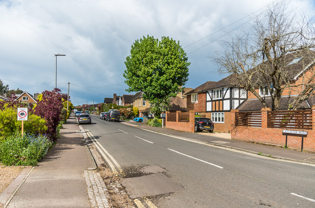
Image: © Ian Capper Taken: 1 May 2020
One of a pair of roads (the other being the parallel Battlefield Road) developed in the 1920s/30s with names commemorating the second Battle of St Albans which was fought in 1461 on nearby Bernards Heath.
Images are licensed for reuse under creativecommons.org/licenses/by-sa/2.0
Image Location
Latitude
51.758963
Longitude
-0.323935