Blenheim Road
Introduction
The photograph on this page of Blenheim Road by Ian Capper as part of the Geograph project.
The Geograph project started in 2005 with the aim of publishing, organising and preserving representative images for every square kilometre of Great Britain, Ireland and the Isle of Man.

There are currently over 7.5m images from over 14,400 individuals and you can help contribute to the project by visiting https://www.geograph.org.uk
Blenheim Road
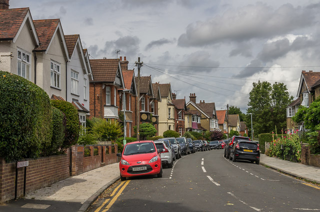
Image: © Ian Capper Taken: 25 Jul 2020
Looking along Blenheim Road, a road developed in the 1890s as part of the development of fields previously belonging to St Peter’s Farm, part of the larger Earl Spencer Estate.
Images are licensed for reuse under creativecommons.org/licenses/by-sa/2.0
Image Location
Latitude
51.757445
Longitude
-0.322803