Watford: Kingswood Estate
Introduction
The photograph on this page of Watford: Kingswood Estate by Nigel Cox as part of the Geograph project.
The Geograph project started in 2005 with the aim of publishing, organising and preserving representative images for every square kilometre of Great Britain, Ireland and the Isle of Man.

There are currently over 7.5m images from over 14,400 individuals and you can help contribute to the project by visiting https://www.geograph.org.uk
Watford: Kingswood Estate
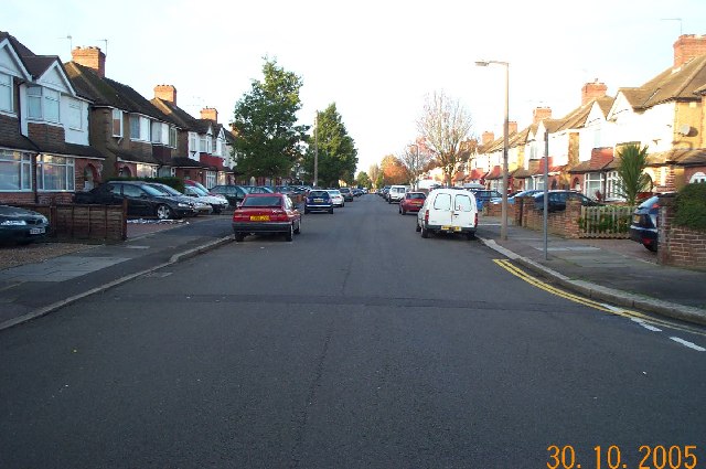
Image: © Nigel Cox Taken: 30 Oct 2005
A view looking westwards down Kingswood Road from its junction with Moss Road, this estate of 1920s - 1940s housing covers the southern third of this grid square.
Images are licensed for reuse under creativecommons.org/licenses/by-sa/2.0
Image Location


Leaflet Map data © OpenStreetMap
Latitude
51.688752
Longitude
-0.399966