A1066 Hurth Way, Thetford
Introduction
The photograph on this page of A1066 Hurth Way, Thetford by Robin Webster as part of the Geograph project.
The Geograph project started in 2005 with the aim of publishing, organising and preserving representative images for every square kilometre of Great Britain, Ireland and the Isle of Man.

There are currently over 7.5m images from over 14,400 individuals and you can help contribute to the project by visiting https://www.geograph.org.uk
A1066 Hurth Way, Thetford
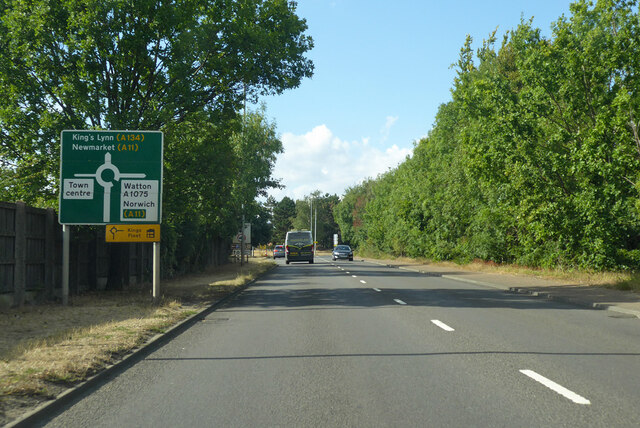
Image: © Robin Webster Taken: 21 Aug 2022
Avoiding the old centre of town, although much of the town also lies to the right.
Images are licensed for reuse under creativecommons.org/licenses/by-sa/2.0
Image Location
Latitude
52.417162
Longitude
0.759806