Nant Peris
Introduction
The photograph on this page of Nant Peris by David Dixon as part of the Geograph project.
The Geograph project started in 2005 with the aim of publishing, organising and preserving representative images for every square kilometre of Great Britain, Ireland and the Isle of Man.

There are currently over 7.5m images from over 14,400 individuals and you can help contribute to the project by visiting https://www.geograph.org.uk
Nant Peris
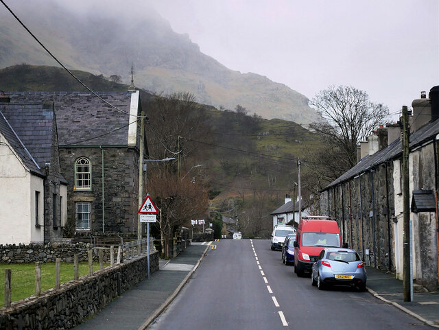
Image: © David Dixon Taken: 16 Feb 2022
The village of Nant Peris sits between Llanberis and Capel Curig on the A4086, sheltering in the foothills of Mount Snowdon.
Images are licensed for reuse under creativecommons.org/licenses/by-sa/2.0
Image Location
Latitude
53.104952
Longitude
-4.085241