Kirkie Steps
Introduction
The photograph on this page of Kirkie Steps by Anne Burgess as part of the Geograph project.
The Geograph project started in 2005 with the aim of publishing, organising and preserving representative images for every square kilometre of Great Britain, Ireland and the Isle of Man.

There are currently over 7.5m images from over 14,400 individuals and you can help contribute to the project by visiting https://www.geograph.org.uk
Kirkie Steps
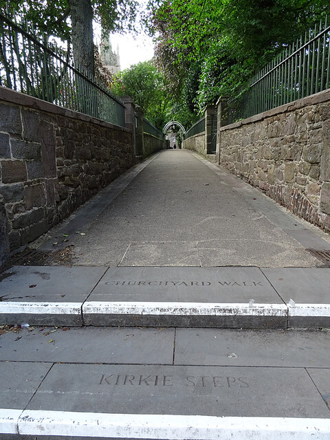
Image: © Anne Burgess Taken: 13 Aug 2021
Or, for the avoidance of doubt, Churchyard Walk. This lane links Baltic Street and High Street beside the Parish Kirk.
Images are licensed for reuse under creativecommons.org/licenses/by-sa/2.0
Image Location
Latitude
56.71057
Longitude
-2.466983