Junction near Torquay station
Introduction
The photograph on this page of Junction near Torquay station by Derek Harper as part of the Geograph project.
The Geograph project started in 2005 with the aim of publishing, organising and preserving representative images for every square kilometre of Great Britain, Ireland and the Isle of Man.

There are currently over 7.5m images from over 14,400 individuals and you can help contribute to the project by visiting https://www.geograph.org.uk
Junction near Torquay station
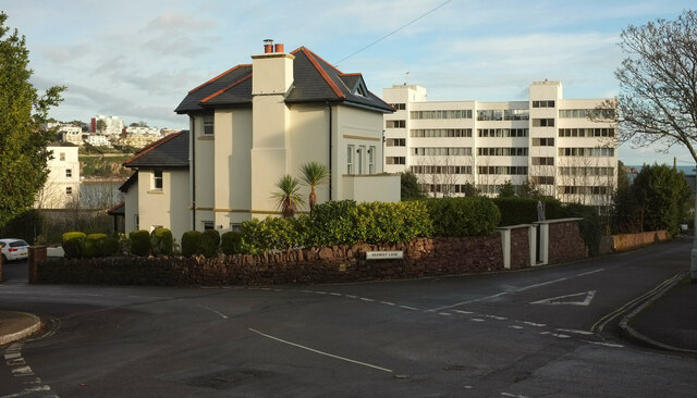
Image: © Derek Harper Taken: 8 Dec 2020
A slightly different angle on the crossroads shown in Image, with a glimpse of Waldon Hill on the left.
Images are licensed for reuse under creativecommons.org/licenses/by-sa/2.0
Image Location
Latitude
50.459195
Longitude
-3.543564