Hollow tree stump at Dalebanks
Introduction
The photograph on this page of Hollow tree stump at Dalebanks by Gordon Hatton as part of the Geograph project.
The Geograph project started in 2005 with the aim of publishing, organising and preserving representative images for every square kilometre of Great Britain, Ireland and the Isle of Man.

There are currently over 7.5m images from over 14,400 individuals and you can help contribute to the project by visiting https://www.geograph.org.uk
Hollow tree stump at Dalebanks
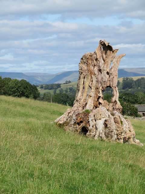
Image: © Gordon Hatton Taken: 15 Aug 2019
Situated between High and Low Dalebanks, this old hollow stump makes a nice foreground to a view that extends as far as High Cup Gill in the northern Pennines.
Images are licensed for reuse under creativecommons.org/licenses/by-sa/2.0
Image Location
Latitude
54.518781
Longitude
-2.606609