Path around Steart Marshes at Combwich
Introduction
The photograph on this page of Path around Steart Marshes at Combwich by David Smith as part of the Geograph project.
The Geograph project started in 2005 with the aim of publishing, organising and preserving representative images for every square kilometre of Great Britain, Ireland and the Isle of Man.

There are currently over 7.5m images from over 14,400 individuals and you can help contribute to the project by visiting https://www.geograph.org.uk
Path around Steart Marshes at Combwich
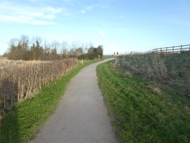
Image: © David Smith Taken: 17 Jan 2019
There is a bridlepath around the WWT site; it is screened from the site by hedges (as here) dikes and channels
Images are licensed for reuse under creativecommons.org/licenses/by-sa/2.0
Image Location
Latitude
51.178261
Longitude
-3.061586