Temporary access entrance, Shalloak Road
Introduction
The photograph on this page of Temporary access entrance, Shalloak Road by John Baker as part of the Geograph project.
The Geograph project started in 2005 with the aim of publishing, organising and preserving representative images for every square kilometre of Great Britain, Ireland and the Isle of Man.

There are currently over 7.5m images from over 14,400 individuals and you can help contribute to the project by visiting https://www.geograph.org.uk
Temporary access entrance, Shalloak Road
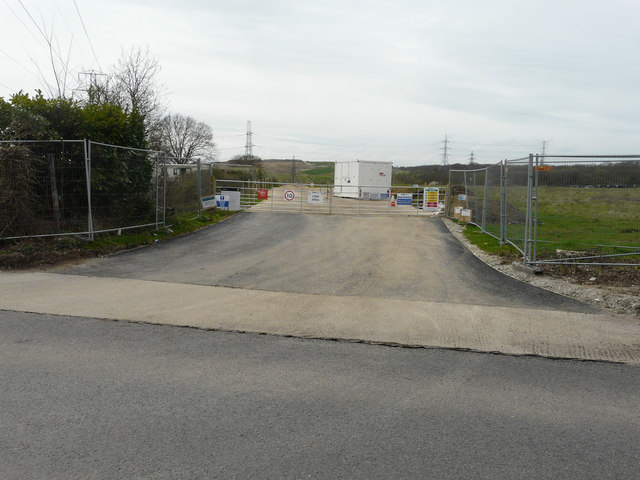
Image: © John Baker Taken: 15 Apr 2018
This is one of three temporary access points to the Richborough Connection Project http://richboroughconnection.co.uk/ which is a proposed 400kV electricity transmission connection between Richborough and Canterbury in Kent to connect the proposed new UK to Belgium interconnector (known as the Nemo Link) https://infrastructure.planninginspectorate.gov.uk/projects/south-east/richborough-connection-project/ Its location may be seen in this image of Image
Images are licensed for reuse under creativecommons.org/licenses/by-sa/2.0
Image Location
Latitude
51.3054
Longitude
1.107827