Leeds Road junction with Old Pool Bank
Introduction
The photograph on this page of Leeds Road junction with Old Pool Bank by Mark Anderson as part of the Geograph project.
The Geograph project started in 2005 with the aim of publishing, organising and preserving representative images for every square kilometre of Great Britain, Ireland and the Isle of Man.

There are currently over 7.5m images from over 14,400 individuals and you can help contribute to the project by visiting https://www.geograph.org.uk
Leeds Road junction with Old Pool Bank
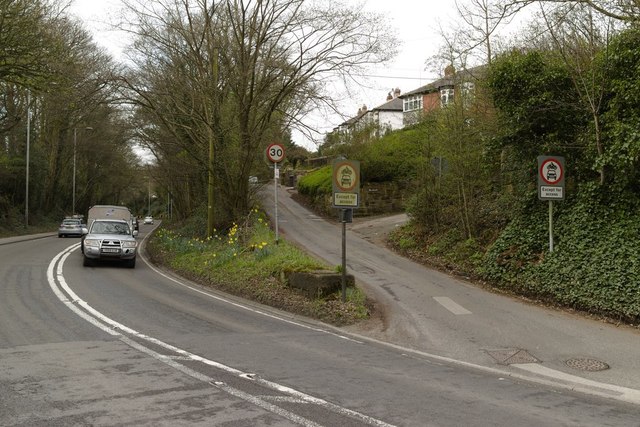
Image: © Mark Anderson Taken: 20 Apr 2018
The remains of an old bridge support for the Pool Bank quarry tramway can be seen in the middle of the photograph.
Images are licensed for reuse under creativecommons.org/licenses/by-sa/2.0
Image Location
Latitude
53.894517
Longitude
-1.640239