Pond near cycle route, Penallta Country Park
Introduction
The photograph on this page of Pond near cycle route, Penallta Country Park by M J Roscoe as part of the Geograph project.
The Geograph project started in 2005 with the aim of publishing, organising and preserving representative images for every square kilometre of Great Britain, Ireland and the Isle of Man.

There are currently over 7.5m images from over 14,400 individuals and you can help contribute to the project by visiting https://www.geograph.org.uk
Pond near cycle route, Penallta Country Park
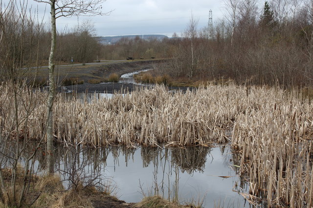
Image: © M J Roscoe Taken: 24 Mar 2018
Pond with dead great reed mace stems and inlet alongside national cycle route 47 (left, on top of stream's bank). The pond, on a former colliery tip, appears to have changed little in two years Image
Images are licensed for reuse under creativecommons.org/licenses/by-sa/2.0
Image Location
Latitude
51.64952
Longitude
-3.262344