A410 Uxbridge Road
Introduction
The photograph on this page of A410 Uxbridge Road by Robin Webster as part of the Geograph project.
The Geograph project started in 2005 with the aim of publishing, organising and preserving representative images for every square kilometre of Great Britain, Ireland and the Isle of Man.

There are currently over 7.5m images from over 14,400 individuals and you can help contribute to the project by visiting https://www.geograph.org.uk
A410 Uxbridge Road
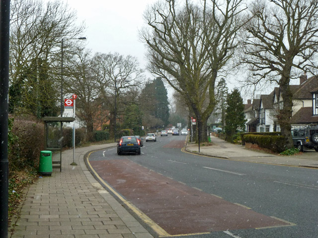
Image: © Robin Webster Taken: 23 Feb 2013
The near bus stop is Rowlands Avenue, towards Pinner. It is served by routes H12, H14 and R17.
Images are licensed for reuse under creativecommons.org/licenses/by-sa/2.0
Image Location
Latitude
51.608456
Longitude
-0.361054