Mitre Fold office building, Wolverhampton
Introduction
The photograph on this page of Mitre Fold office building, Wolverhampton by Jaggery as part of the Geograph project.
The Geograph project started in 2005 with the aim of publishing, organising and preserving representative images for every square kilometre of Great Britain, Ireland and the Isle of Man.

There are currently over 7.5m images from over 14,400 individuals and you can help contribute to the project by visiting https://www.geograph.org.uk
Mitre Fold office building, Wolverhampton
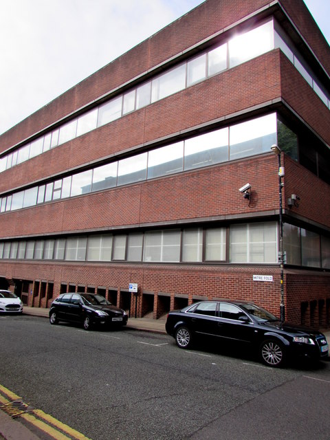
Image: © Jaggery Taken: 17 Sep 2016
Viewed from the corner of North Street. The Mitre Fold name sign is on the wall above the car on the right. The Folds of Wolverhampton is the collective name given to the mix of alleys, passages and little streets around the city centre, some with the name Fold, some not. The title Folds is a reminder that Wolverhampton became wealthy during the Middle Ages as a leading town of the wool and cloth trade. These alleys, passages and streets may have been used for gathering sheep, or had other links with occupations connected with the trade.
Images are licensed for reuse under creativecommons.org/licenses/by-sa/2.0
Image Location
Latitude
52.586842
Longitude
-2.131024