Barns at Border
Introduction
The photograph on this page of Barns at Border by Anne Burgess as part of the Geograph project.
The Geograph project started in 2005 with the aim of publishing, organising and preserving representative images for every square kilometre of Great Britain, Ireland and the Isle of Man.

There are currently over 7.5m images from over 14,400 individuals and you can help contribute to the project by visiting https://www.geograph.org.uk
Barns at Border
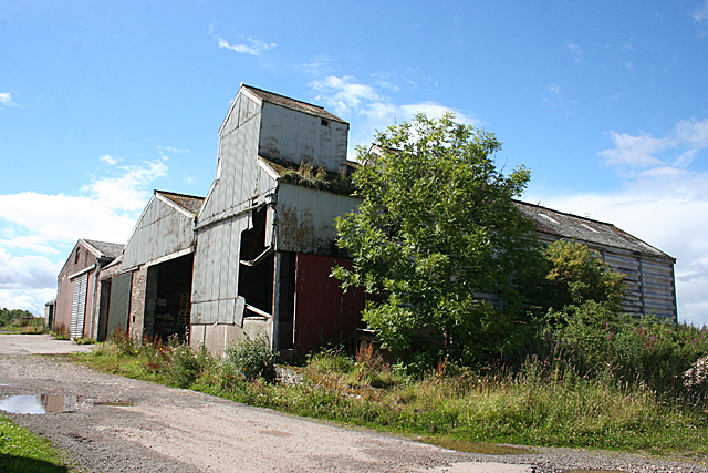
Image: © Anne Burgess Taken: 7 Aug 2017
The maps are not unaninmous about the name of this farm. Some name it as Border but others say East Border.
Images are licensed for reuse under creativecommons.org/licenses/by-sa/2.0
Image Location
Latitude
56.627618
Longitude
-2.653557