A630 Road at Thrybergh
Introduction
The photograph on this page of A630 Road at Thrybergh by Jonathan Clitheroe as part of the Geograph project.
The Geograph project started in 2005 with the aim of publishing, organising and preserving representative images for every square kilometre of Great Britain, Ireland and the Isle of Man.

There are currently over 7.5m images from over 14,400 individuals and you can help contribute to the project by visiting https://www.geograph.org.uk
A630 Road at Thrybergh
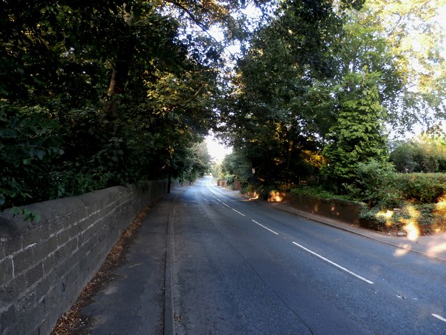
Image: © Jonathan Clitheroe Taken: 18 Aug 2016
This grid square is dominated by Rotherham Golf Club although the Kilnhurst cut of the River Don also passes through plus this road which nicks the south east corner. The golf course is screened by trees to the left of the wall.
Images are licensed for reuse under creativecommons.org/licenses/by-sa/2.0
Image Location
Latitude
53.459022
Longitude
-1.293765