Buildings near the eastern edge of Brithdir
Introduction
The photograph on this page of Buildings near the eastern edge of Brithdir by Jaggery as part of the Geograph project.
The Geograph project started in 2005 with the aim of publishing, organising and preserving representative images for every square kilometre of Great Britain, Ireland and the Isle of Man.

There are currently over 7.5m images from over 14,400 individuals and you can help contribute to the project by visiting https://www.geograph.org.uk
Buildings near the eastern edge of Brithdir
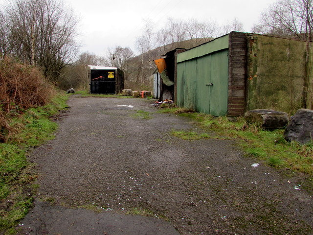
Image: © Jaggery Taken: 23 Jan 2016
Located near this http://www.geograph.org.uk/photo/4806293 village boundary sign. I couldn't decide whether these buildings are derelict or merely closed for the weekend. A building on the right is damaged. A notice on the black building shows KEEP OUT GARAGE IN USE 24 HOURS.
Images are licensed for reuse under creativecommons.org/licenses/by-sa/2.0
Image Location
Latitude
51.711021
Longitude
-3.228595