Cardington Airfield Airship Sheds
Introduction
The photograph on this page of Cardington Airfield Airship Sheds by PAUL FARMER as part of the Geograph project.
The Geograph project started in 2005 with the aim of publishing, organising and preserving representative images for every square kilometre of Great Britain, Ireland and the Isle of Man.

There are currently over 7.5m images from over 14,400 individuals and you can help contribute to the project by visiting https://www.geograph.org.uk
Cardington Airfield Airship Sheds
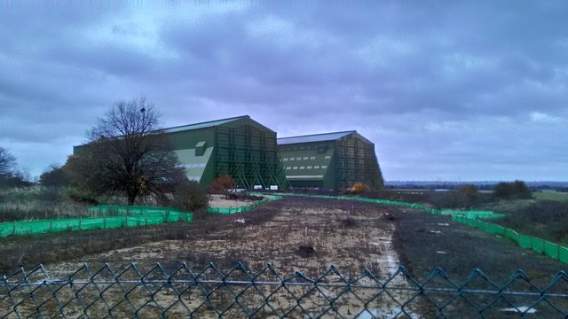
Image: © PAUL FARMER Taken: 8 Nov 2015
These sheds are 55m high and about 247m long by 83m across.
Images are licensed for reuse under creativecommons.org/licenses/by-sa/2.0
Image Location
Latitude
52.109842
Longitude
-0.420714