Merrill Street, Holt Town
Introduction
The photograph on this page of Merrill Street, Holt Town by Gerald England as part of the Geograph project.
The Geograph project started in 2005 with the aim of publishing, organising and preserving representative images for every square kilometre of Great Britain, Ireland and the Isle of Man.

There are currently over 7.5m images from over 14,400 individuals and you can help contribute to the project by visiting https://www.geograph.org.uk
Merrill Street, Holt Town
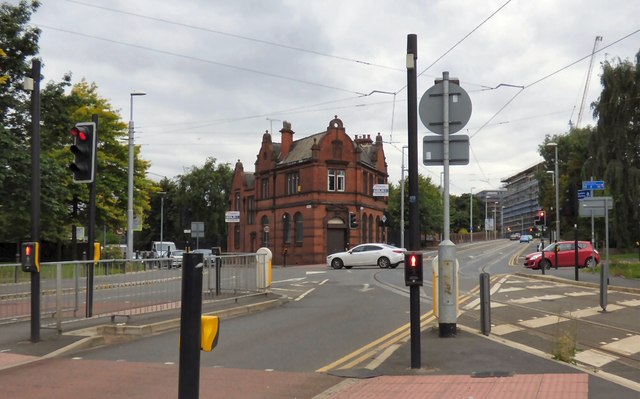
Image: © Gerald England Taken: 5 Aug 2015
The A662 from Droylsden. Since Merrill Street is now used by the Metrolink trams, bus services travel down Every Street on the left instead. The building on the corner was originally the District Bank.
Images are licensed for reuse under creativecommons.org/licenses/by-sa/2.0
Image Location
Latitude
53.482488
Longitude
-2.213639