Isaac's Lane, Haywards Heath
Introduction
The photograph on this page of Isaac's Lane, Haywards Heath by Simon Carey as part of the Geograph project.
The Geograph project started in 2005 with the aim of publishing, organising and preserving representative images for every square kilometre of Great Britain, Ireland and the Isle of Man.

There are currently over 7.5m images from over 14,400 individuals and you can help contribute to the project by visiting https://www.geograph.org.uk
Isaac's Lane, Haywards Heath
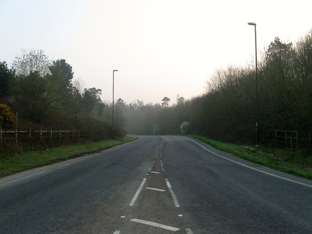
Image: © Simon Carey Taken: 9 Apr 2015
The new course was completed in 2001 as the first phase of the Haywards Heath relief road that eventually opened in autumn 2014. See Image Looking northward from the Bolnore roundabout.
Images are licensed for reuse under creativecommons.org/licenses/by-sa/2.0
Image Location
Latitude
50.99561
Longitude
-0.121948