Success House, corner of Cooper?s Road and Old Kent Road
Introduction
The photograph on this page of Success House, corner of Cooper?s Road and Old Kent Road by Robin Stott as part of the Geograph project.
The Geograph project started in 2005 with the aim of publishing, organising and preserving representative images for every square kilometre of Great Britain, Ireland and the Isle of Man.

There are currently over 7.5m images from over 14,400 individuals and you can help contribute to the project by visiting https://www.geograph.org.uk
Success House, corner of Cooper?s Road and Old Kent Road
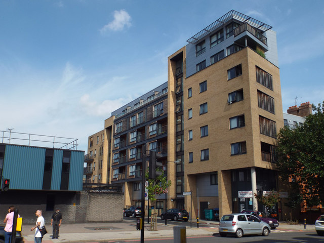
Image: © Robin Stott Taken: 25 Aug 2013
On the left is the modern fire station http://www.geograph.org.uk/photo/63826 – which appears to show earlier buildings in Cooper's Road.
Images are licensed for reuse under creativecommons.org/licenses/by-sa/2.0
Image Location
Latitude
51.486823
Longitude
-0.073314